

Mapware
Transform your mapping projects with Mapware's cloud-based platform for efficient 3D mapping and aerial photogrammetry, designed for scalability and security.
Mapware provides a cloud-driven mapping solution that streamlines the process of 3D mapping and aerial photogrammetry. While the necessity for a robust internet connection might pose difficulties for those in regions with unreliable networks, its effectiveness and ability to scale position it as a preferred option for extensive mapping initiatives. Users appreciate its quick processing capabilities and dependable security measures.
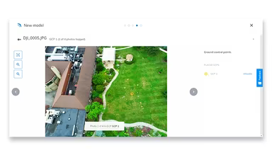
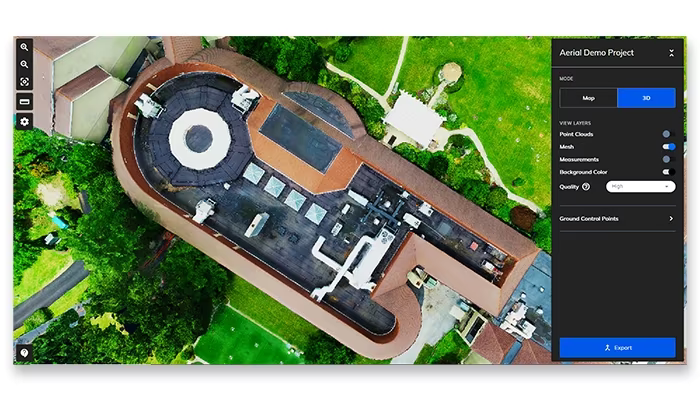
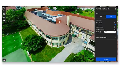
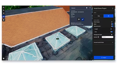
What Is Mapware?
Mapware is a cloud-driven solution crafted to support sectors like construction and agriculture with effective 3D mapping and aerial data processing. It enhances workflows by providing quick, scalable mapping options, minimizing manual tasks, and boosting data precision. This software caters to a diverse array of professionals, including drone pilots and land surveyors. Featuring secure cloud storage and a user-friendly interface, Mapware meets the demand for accurate, large-scale mapping while promoting teamwork among various groups.
Mapware Pricing
Mapware offers five different pricing packages:
Pay-As-You-Go: $0.02 per megapixel
Explorer: $140 per month with an annual commitment
Section: $837 per month with an annual commitment
Crew: $1673 per month with an annual commitment
Executive: $3346 per month with an annual commitment
You can also obtain a customized quote for Mapware based on your organization's specific type and requirements. Furthermore, a 15-day free trial is available upon request.
Please note: Pricing may vary.
Mapware Integrations
The official Mapware website does not detail its integration capabilities. However, you can view a complimentary Mapware demo to gain insights into its integrations.
Who Is Mapware For?
This software is designed for businesses of all sizes across multiple industries, including:
Oil and gas
Utilities
Construction
Telecommunications
Property management
Defense
Agriculture
Is Mapware Right For You?
Mapware is particularly suitable for organizations that require precise 3D maps and aerial data processing. Its cloud-based infrastructure simplifies intricate mapping processes, enhancing both project productivity and decision-making capabilities. With scalable, high-quality offerings, the software empowers businesses to streamline their operations. This is why organizations like the US Air Force, COMCAST, and Belfor have chosen to utilize Mapware.
If you're still uncertain about whether Mapware is the right fit for your needs, reach out to our support team at info@softwareseekers.com for assistance with any additional questions you may have.