

Measure Ground Control
Transform your mapping and flight planning with Measure Ground Control software, the affordable GIS solution for efficient inspections and equipment management.
Measure Ground Control is a geographic information system (GIS) designed to streamline the processes of map generation, flight planning, equipment oversight, and inspections across different organizations. While the navigation may present a bit of a learning curve, the controls are user-friendly, and loading files is executed swiftly. Additionally, this software offers a competitive pricing structure given its extensive range of features.
What Is Measure Ground Control Software?
Overview
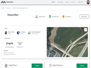
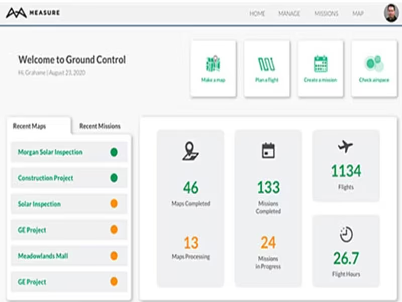
Measure Ground Control serves as a GIS platform designed to help businesses, regardless of size, optimize various tasks such as creating maps, planning flights, scheduling missions, managing equipment, conducting inspections, and much more, all from a unified interface.
The Measure Ground Construction Management feature enables team members to adhere to industry regulations by storing and retrieving comprehensive mission data, which includes screenshots, playback options, program activities, incidents, and additional information. Moreover, the data processing capability allows users to upload ground control points (GCPs), generate contour maps, build digital surface models, create orthomosaics, and measure distances—all within one platform.
Measure Ground Control Pricing
The pricing structure for Measure Ground Control software is as follows:
The PRO Plan is available at $69 per month when billed annually or $99 per month for monthly billing.
The ENTERPRISE Plan represents the premium option. For further pricing details, please reach out to the vendor directly.
Measure Ground Control Demo
Trying out the Measure Ground Control software demo provides an excellent opportunity to evaluate the software before committing to a purchase. The demo allows users to explore each feature in a practical environment to determine if it aligns with their requirements. This hands-on experience can significantly aid in assessing the software’s value.
Our Thoughts
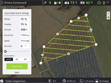
Measure Ground Control equips you with all the necessary tools to completely automate your drone operations workflow. For instance, team members can utilize the flight control module for flight organization, waypoint pattern maintenance, flight log uploads, LAANC authorization acquisition, and weather monitoring. For additional inquiries, please contact our support team at info@softwareseekers.com.